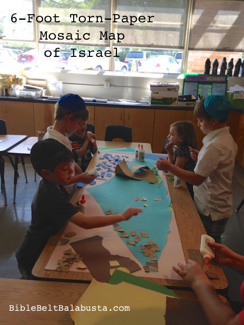
 Making a 3-D map of The Land of Israel is a deep project. What takes time is the discussion. So many questions come up, so many connections: neighbors, borders, cities, terrain, history, Torah, politics. Continue reading

Saw it here first:
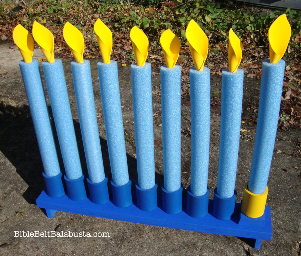
Swim Noodle Menorah
Pinterest

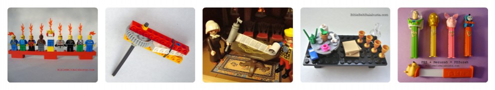
PURIM LEGO gragger

LEGO Gragger
Shavuot Edible Mt. Sinai
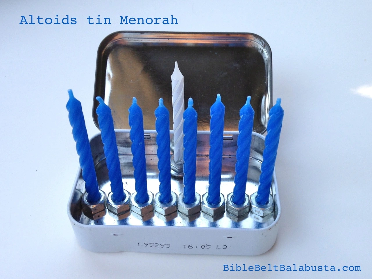
Altoids tin travel menorah

Spin it, Eat it: The Caramel Dreidel

Edible dreidels, regular and mini

Jonah and the Whale Cracker
Pics from Posts

DIY Lego Mezuzah

PEZ + Mezuzah = PEZuzah

Menurkey (repurposed figurine)
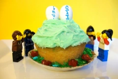
LEGO (and Hunger Games) Lag B’Omer

-
© Bible Belt Balabusta by Joanna Brichetto, 2008-2024. Unauthorized use and/or duplication of this material without express and written permission from this blog’s author and/or owner is strictly prohibited. Excerpts and links may be used, provided that full and clear credit is given to Bible Belt Balabusta and Joanna Brichetto with appropriate and specific direction to the original content.
BibleBeltBalabusta.com © 2024 by Joanna Brichetto is licensed under CC BY-NC-SA 4.0


